Barcode:
1000071
O. W. Peterson Camp at Lone Pine - – Named after a solitary pine tree that once stood at the mouth of Lone Pine Canyon, this small California town's roots stretch back into the Old West -- and Hollywood's Wild West, too. Back in the mid-1800's, the town of Lone Pine was founded to supply local miners with provisions. Farmer and ranchers followed soon after, and after that, the Carson Colorado Railroad pulled into town. Today, the only part of pre-1870 Lone Pine that's still standing is a portion of an old adobe wall that stands behind the local flower store, "La Florista". A few miles to the east, you can also wander among the decaying ghost-town ruins of Cerro Gordo.
The town is located in the Owens Valley, near the Alabama Hills.
On March 26, 1872 a very large earthquake destroyed most of the town and killed 27 of its 250-300 residents.
Much of the local economy is based on tourism, as the town is between several major tourist destinations, such as Mount Whitney, Sequoia National Park, Kings Canyon National Park, Mammoth Mountain, Death Valley National Park, and Yosemite National Park; many motels line the main road through town. The Manzanar National Historic Site (formerly the Manzanar War Relocation Center), a Japanese American internment camp (concentration camp) during World War II, is located on Highway 395 north of Lone Pine and south of Independence. Manzanar (which means “apple orchard” in Spanish) is the best-known of the ten camps in which Japanese Americans, both citizens (including natural-born Americans) and resident aliens, were imprisoned during World War II. Manzanar has been identified as the best preserved of these camps by the Untied States National Park Service which maintains and is restoring the site as a U.S. National Historic Site. The Alabama Hills Recreation Area are located just west of town, on the road to the Whitney Portal which offers access to Mount Whitney.
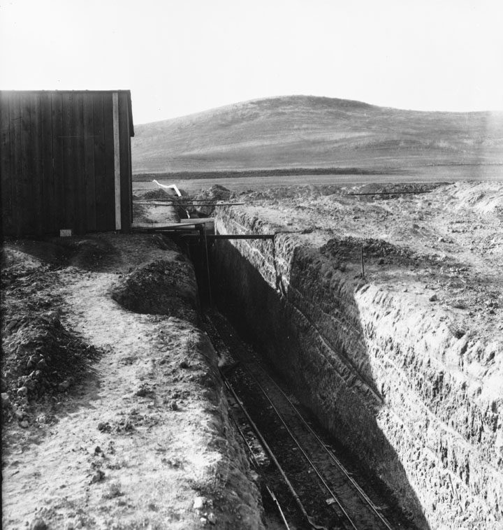
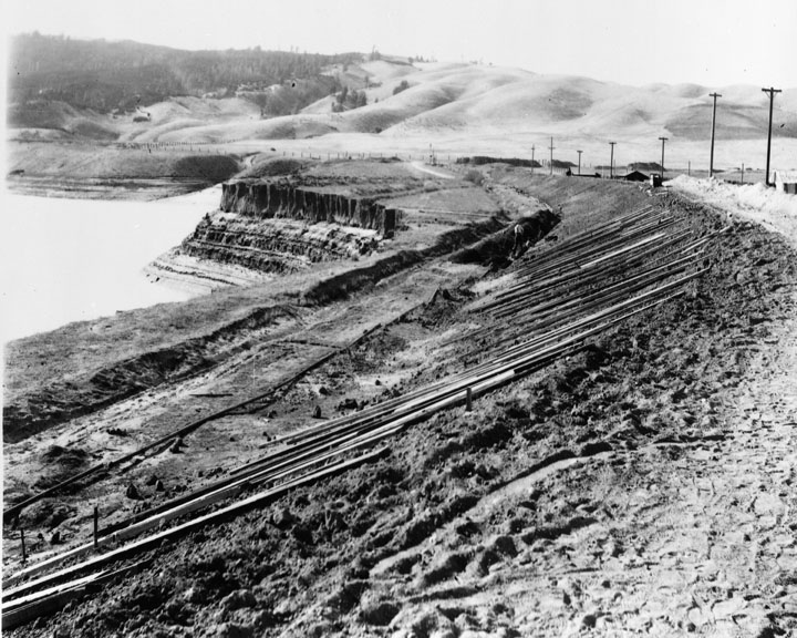
On the way to Whitney Portals and the Alabama Hills visitors will pass over the two Los Angeles Aqueducts, the First Los Angeles Aqueduct (completed 1913) and the Second Los Angeles Aqueduct (completed 1970). These aqueducts traditionally have supplied Los Angeles with about half its water, some 450,000 acre feet (560,000,000 m³) a year. Because groundwater pumping continues at a higher rate than the rate at which water recharges the aquifer, the result is a lone-term trend of desertification in the Owens Valley. The Sierra Nevada range and the Inyo Mountains dominate the views from the town.
The picturesque Alabama Hills lie to the west of Lone Pine. Their unique appearance has attracted many film companies over the years to Lone Pine for filming westerns. The hills were named in 1862 by Southern sympathizers commemorating the victories of the Confederate ship Alabama.
The Lone Pine Indian Reservation is home to persons of Paiute, and Shoshone lineage and is a Federally recognized tribe. The tribe is the most southern band of Northern Paiutes who were sedentary to the valley due to the suitable climate and abundant food supply. These people have been living here for several thousands of years. The reservation is along the south side of town on both sides of US395.
Subjects:
Mountains
Buildings
Collection: Bledsoe Collection 1908-1933